[ult_tab_element tab_style=”Style_2″ tab_animation=”None” tab_max=”on” tab_title_color=”#000000″ tab_background_color=”#ffffff” tab_hover_title_color=”#ffffff” tab_hover_background_color=”#36362d” acttab_title=”#ffffff” acttab_background=”#36362d” tabs_border_radius=”0″ disp_icon=”Disables”][single_tab title=”DESCRIPTION” tab_id=”DESCRIPTION”]
[/single_tab][single_tab title=”RELATED” tab_id=”RELATED”]
[/single_tab][/ult_tab_element]
Data & Figures
| Location | Zangilan/Azerbaijan |
| Year | 2024 |
| Total Area | 46.707 m2 |
| Functions | Housing |
Project design orientations:
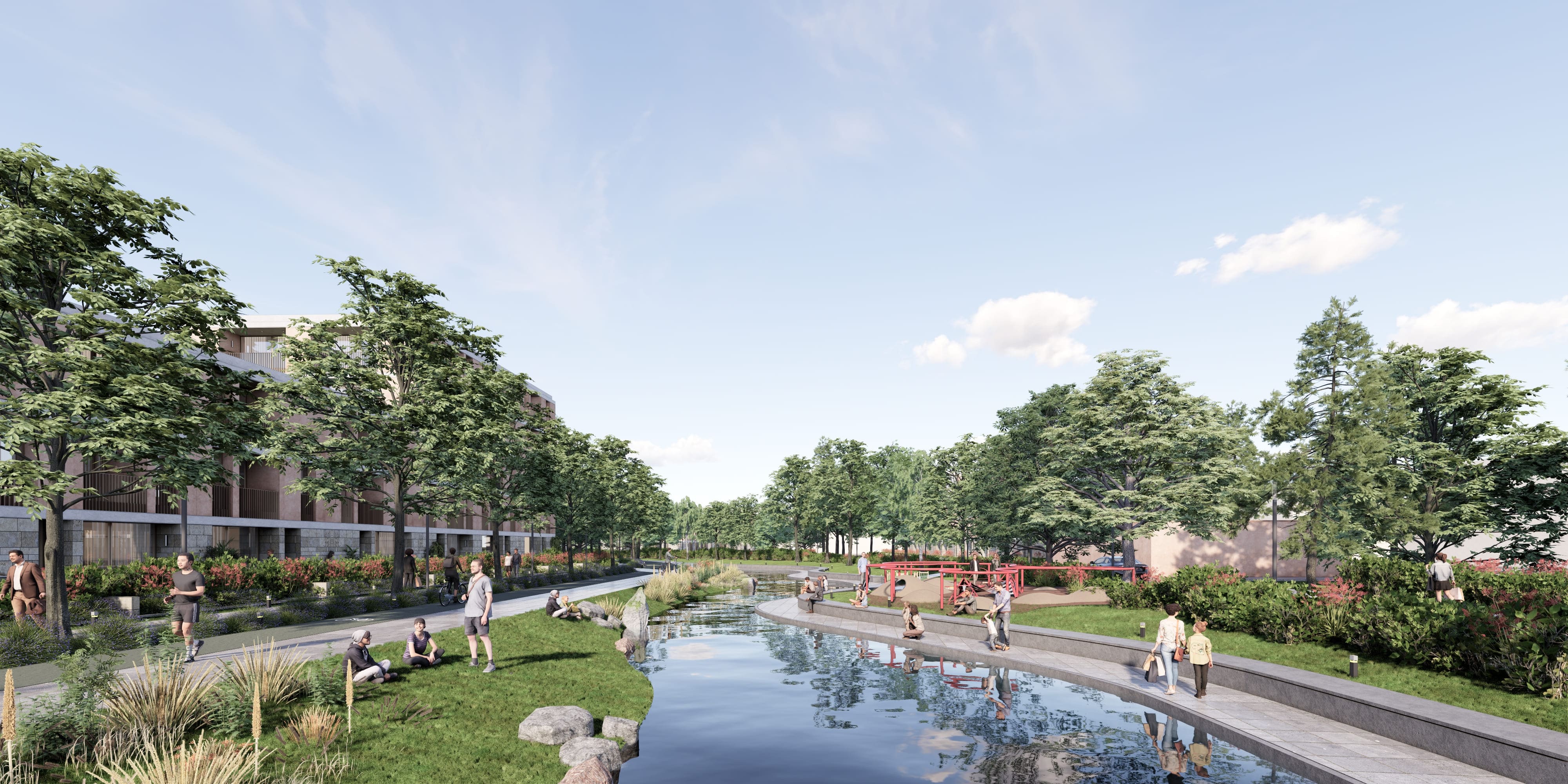
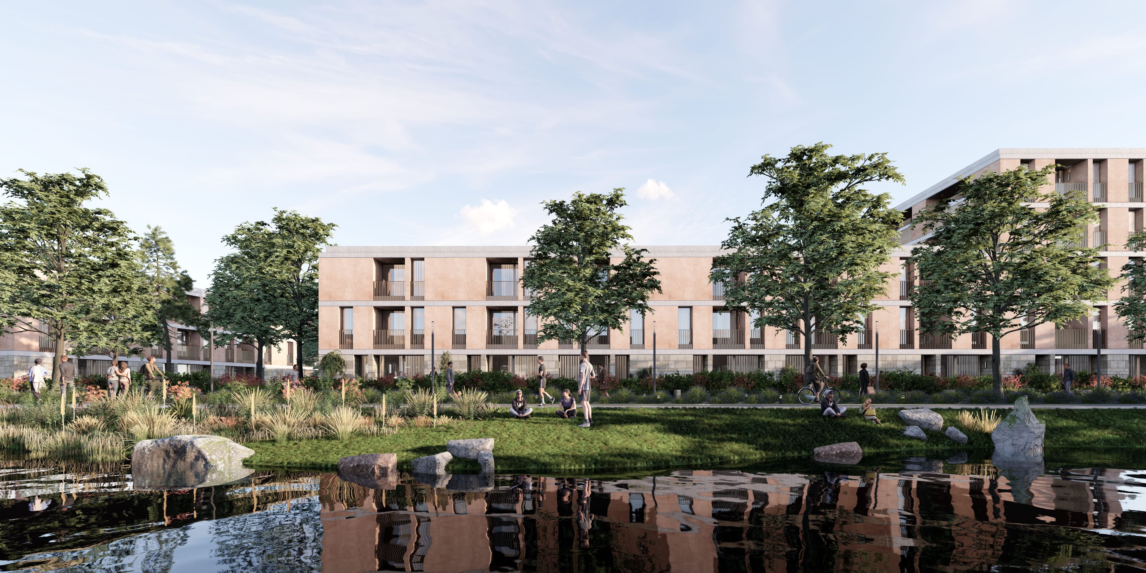
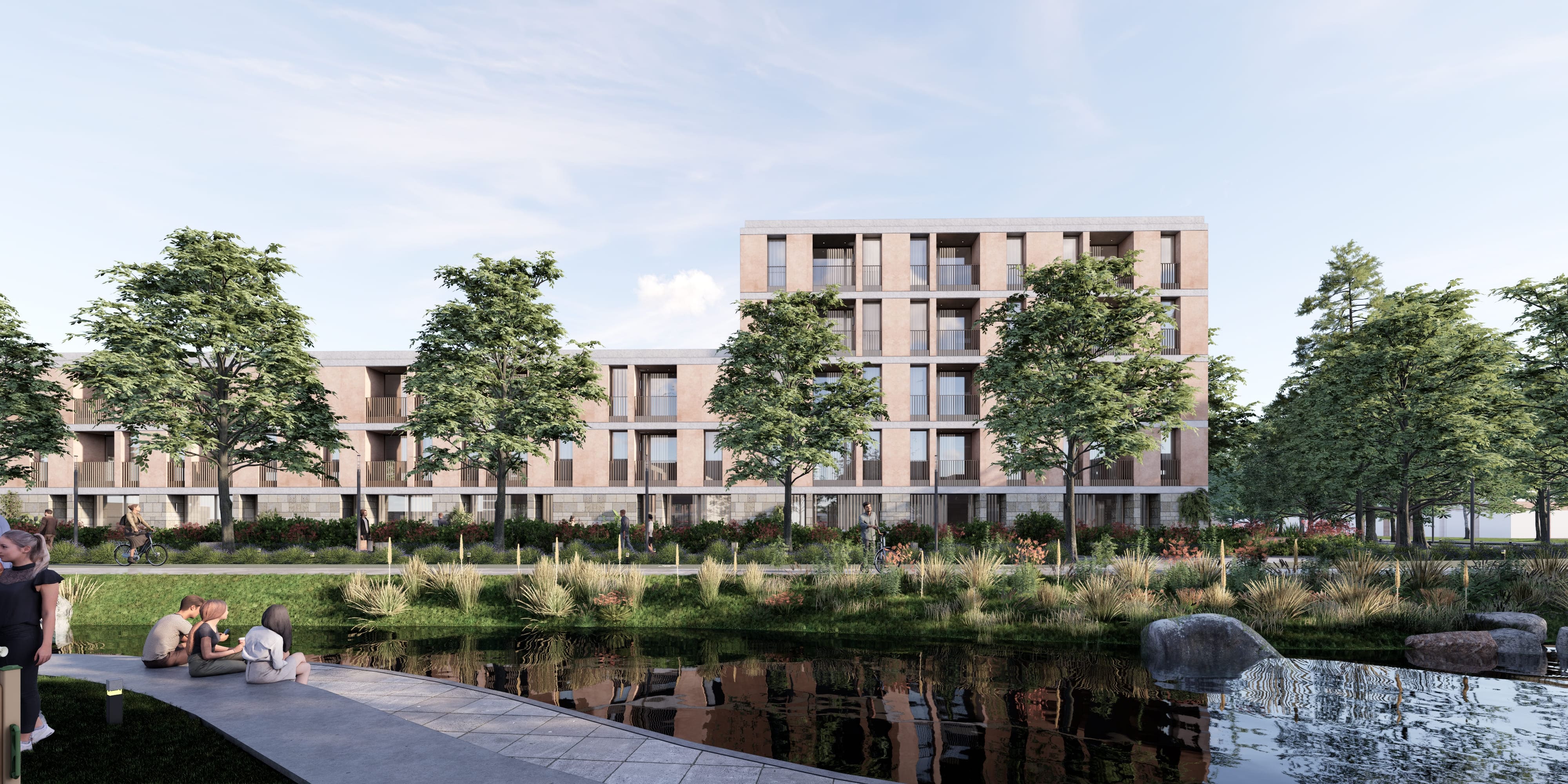
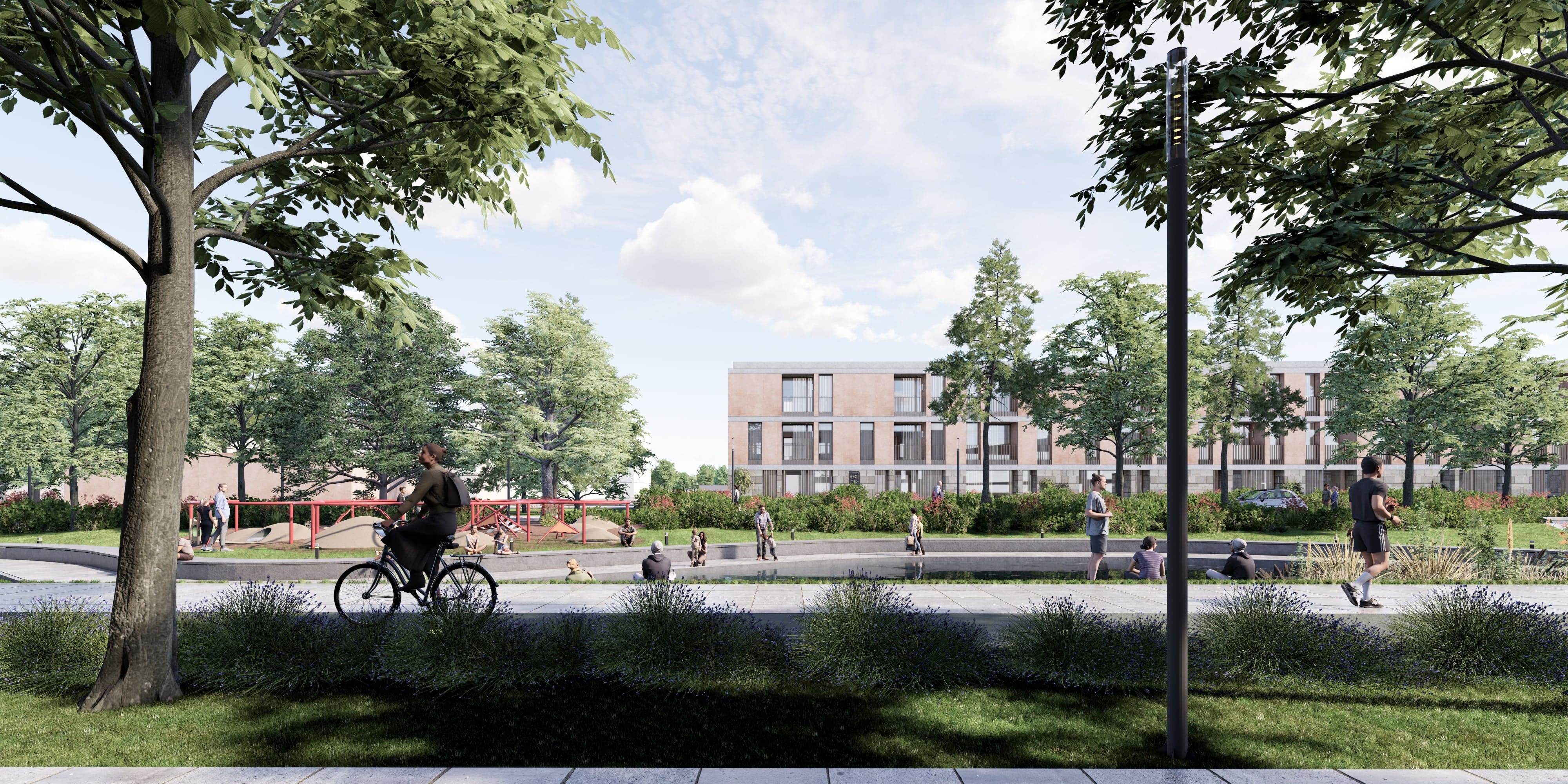
Riverfront Parks & Green Spaces
Main Arteries & Intersections
Active Green
Community Garden
Nature-Themed
Workshop Spaces
Cultural Event
Waterfront Promenade
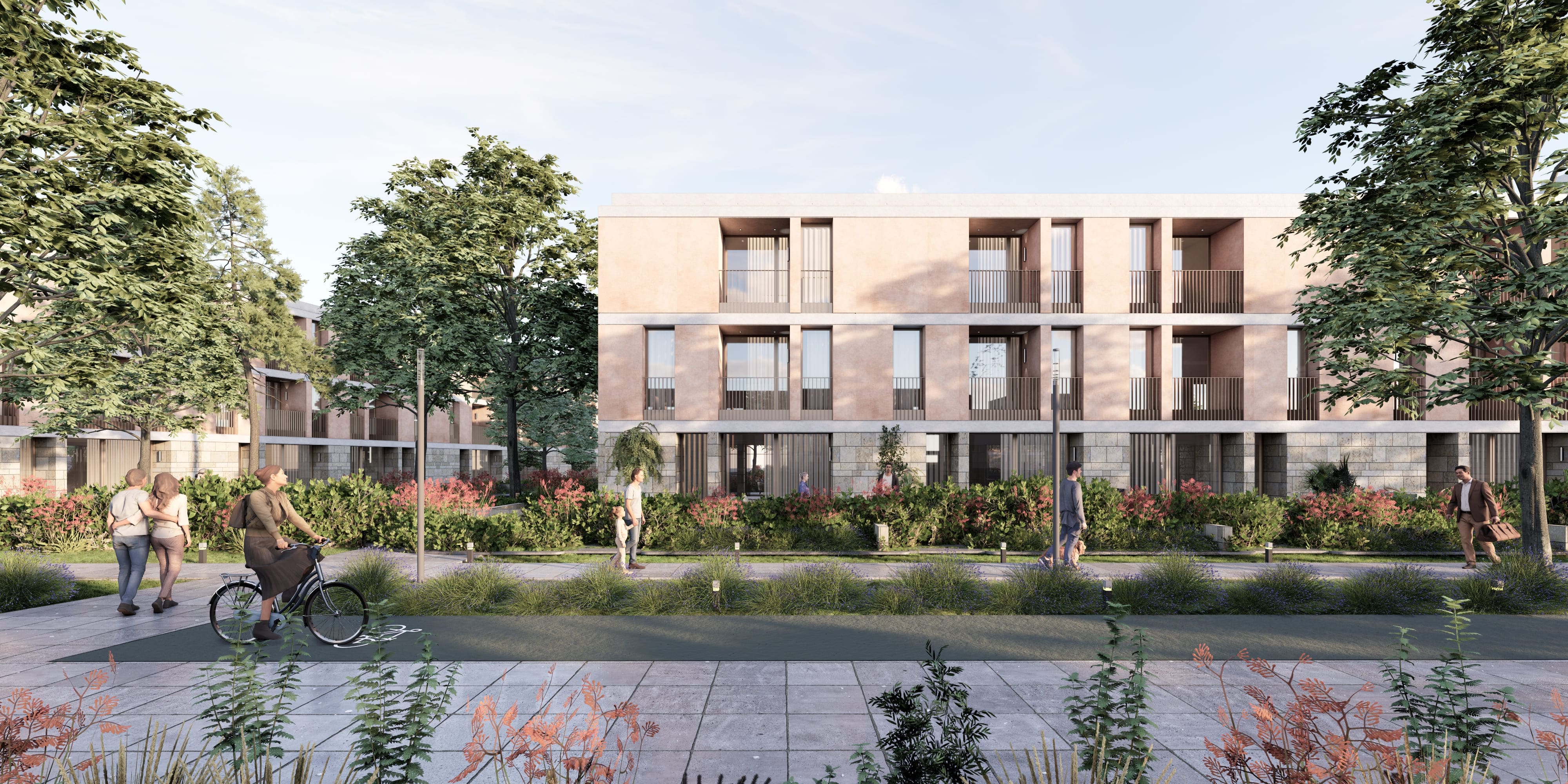
Active Community
Local Businesses
Green Points
Walkablity
Gathering & Event Points
Dynamic & Vibrant
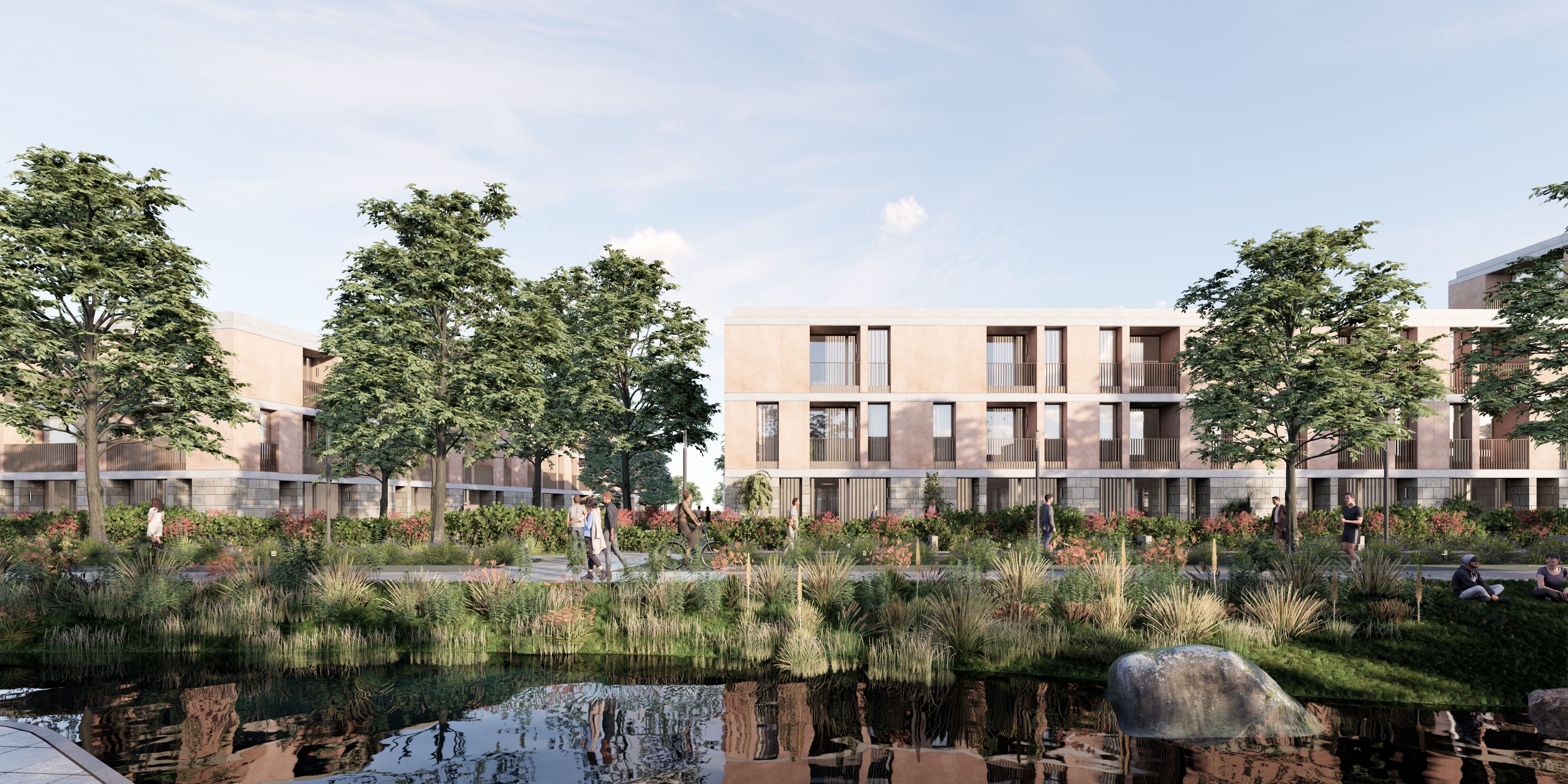
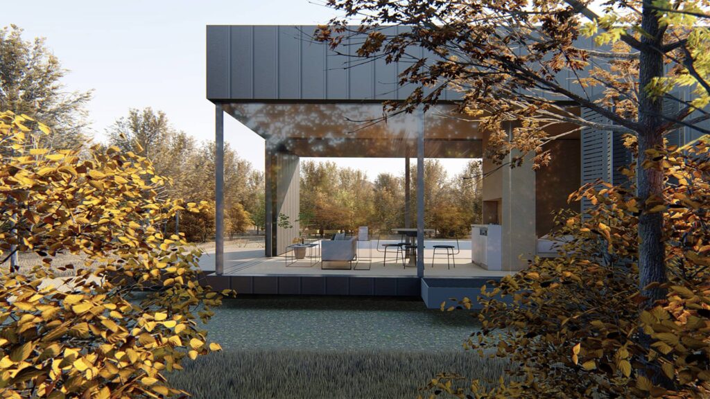
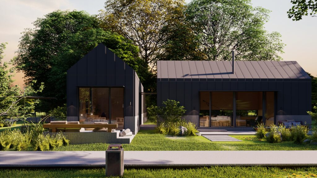
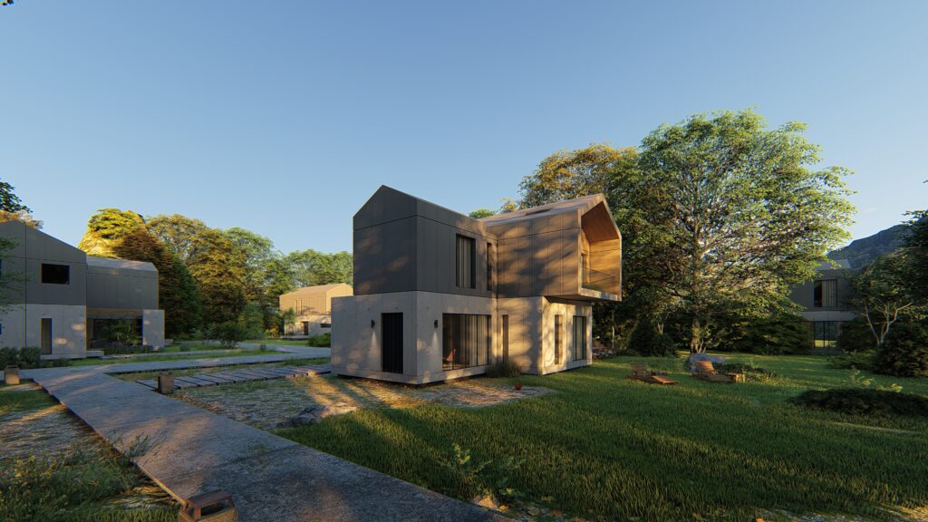
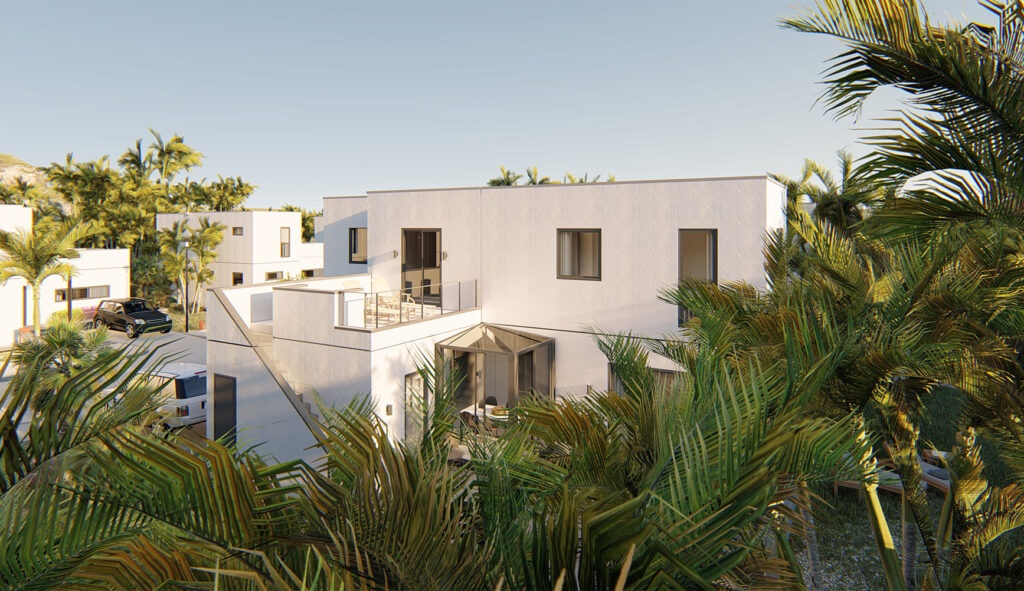
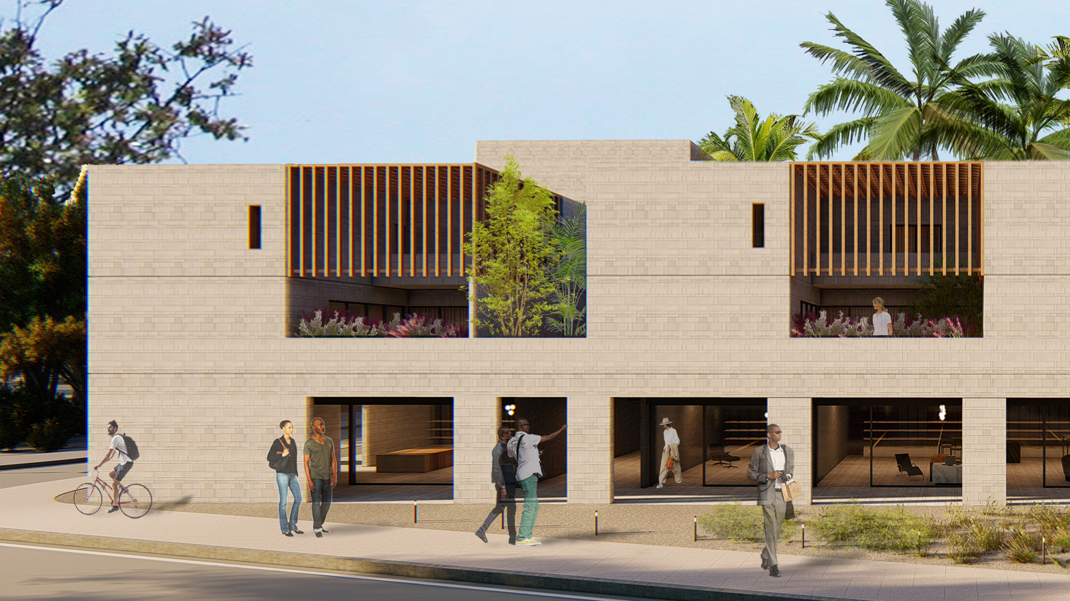
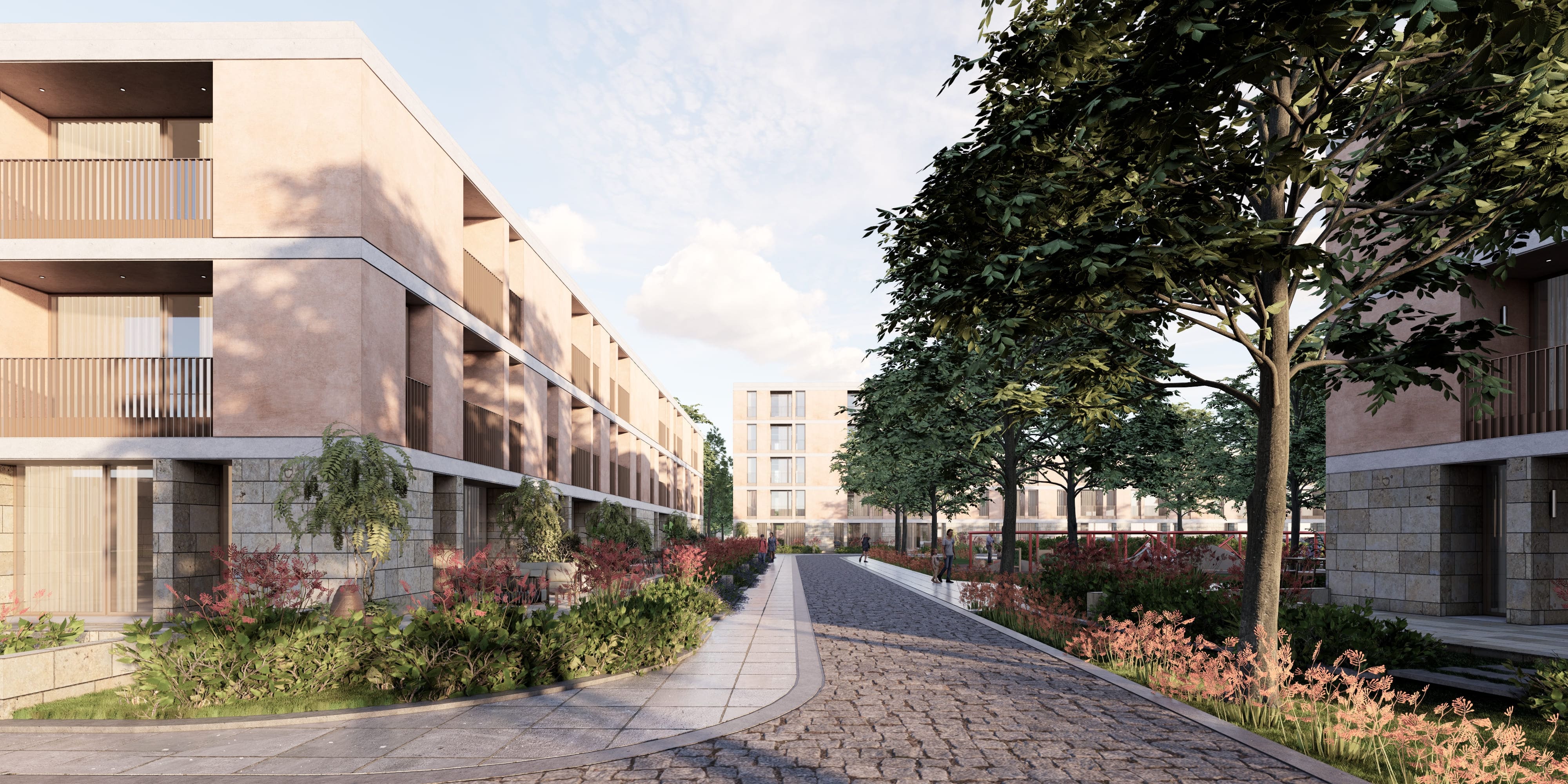
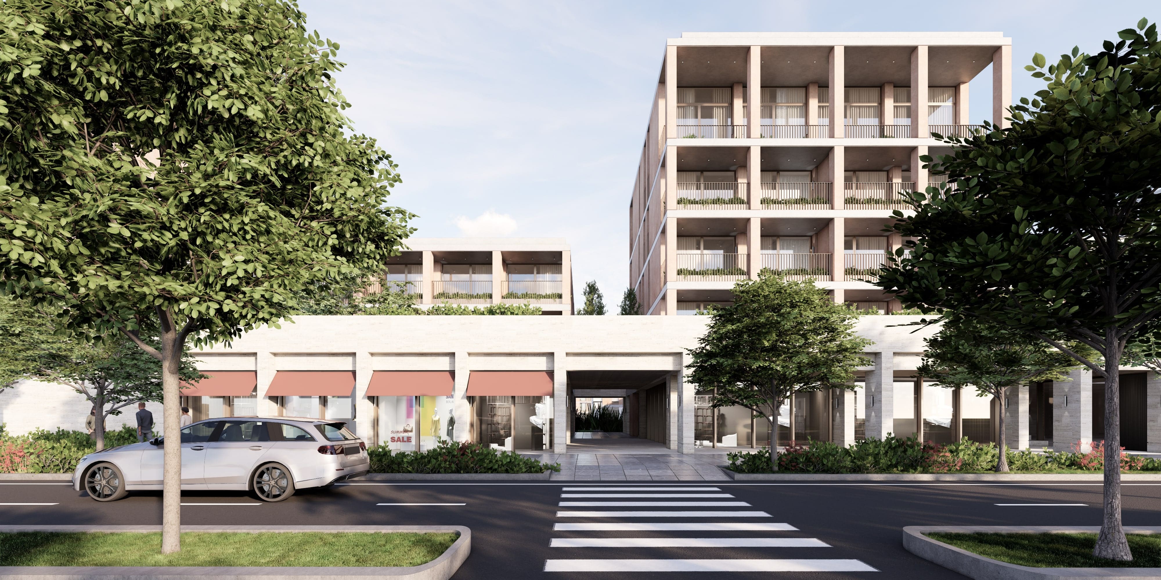
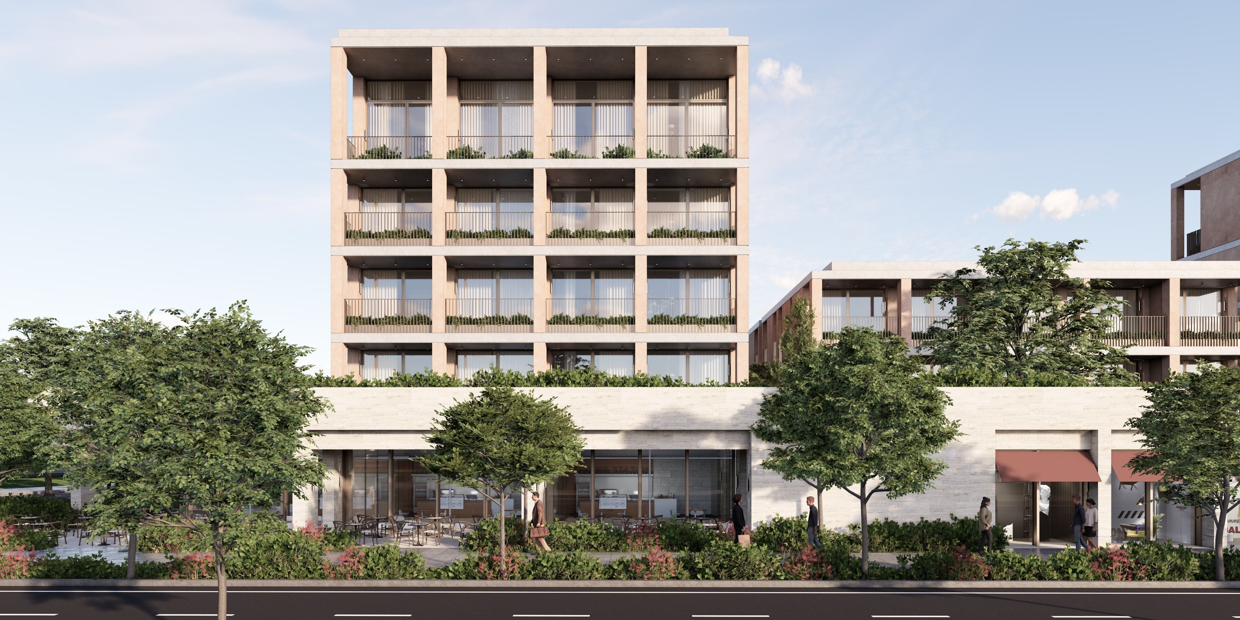
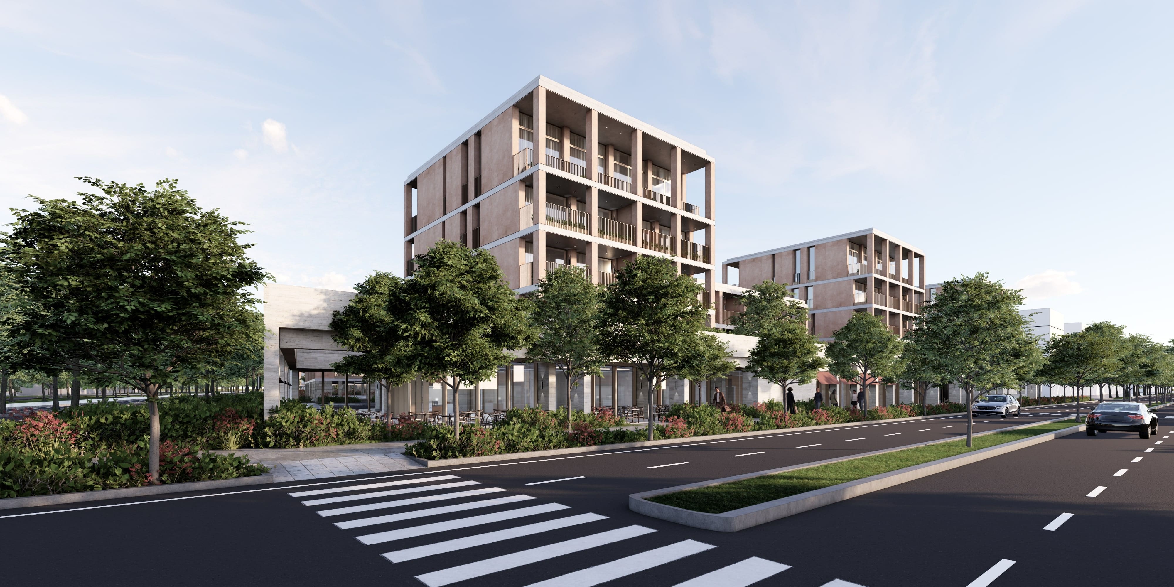
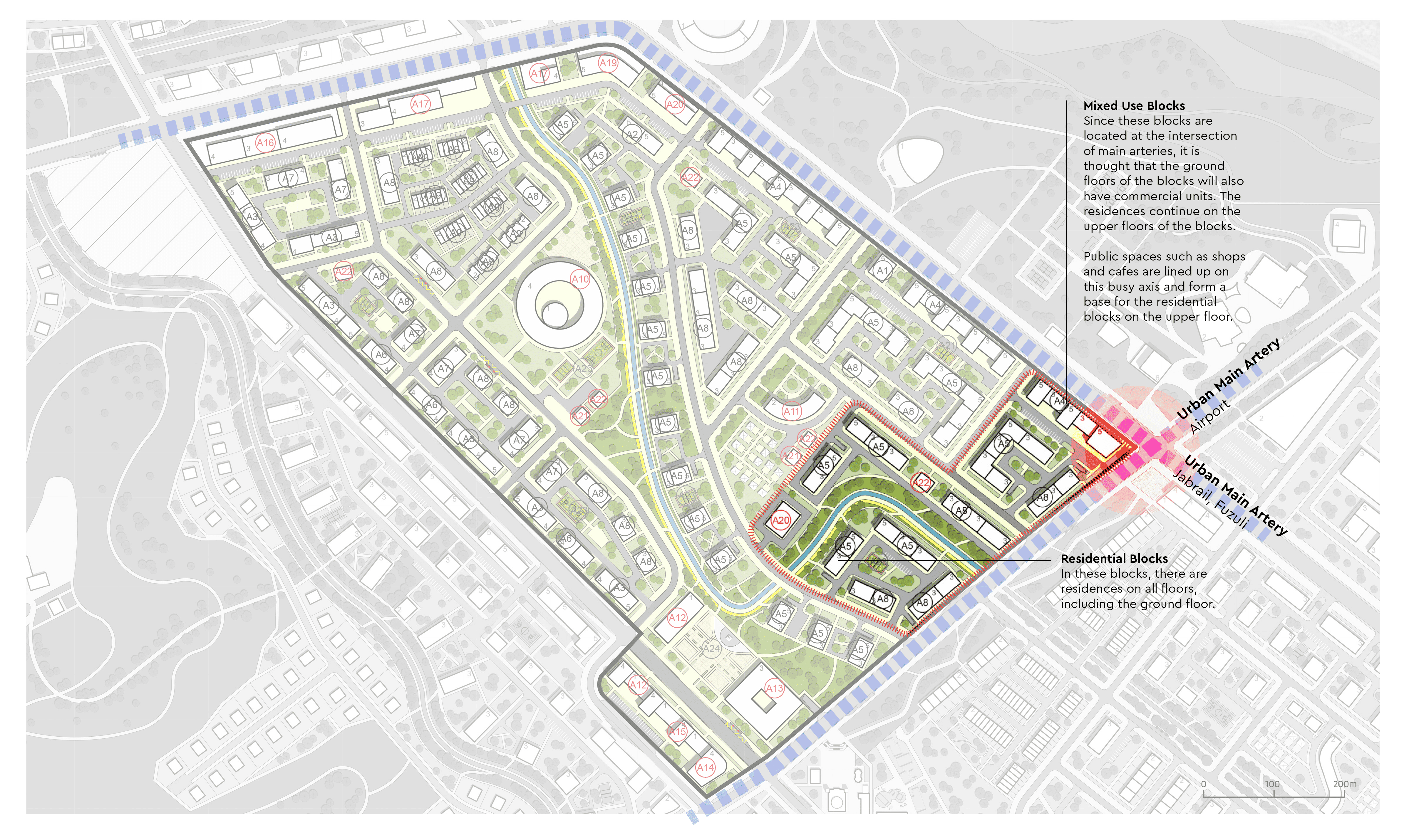
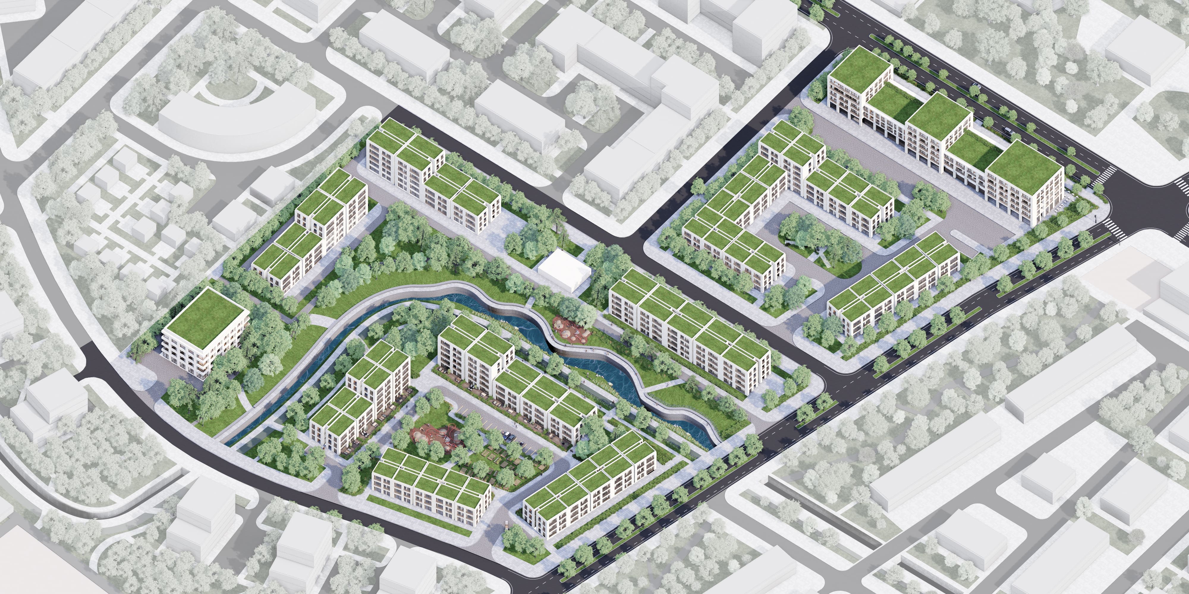
The project covers the facade design of the residential blocks and mixed-use block in the 45,320 m2 plot area in the master plan of Zangilan city of Azerbaijan, and the evaluation of social areas along with landscape design. It is very critical that a part of the project area border comes into contact with the intersection point of urban main arteries. These are the main artery leading to the airport and the other main artery where the commercial center is located. And also the artery leading to the commercial center extends from the other branch to Jabrail and Fuzuli. Within the scope of the project, block facades with different materials and occupancy-void ratios were tested, taking into account other designs in the master plan and Azerbaijani local textures and colors, and various variations of these facades were produced.
Master Plan of Zangilan City
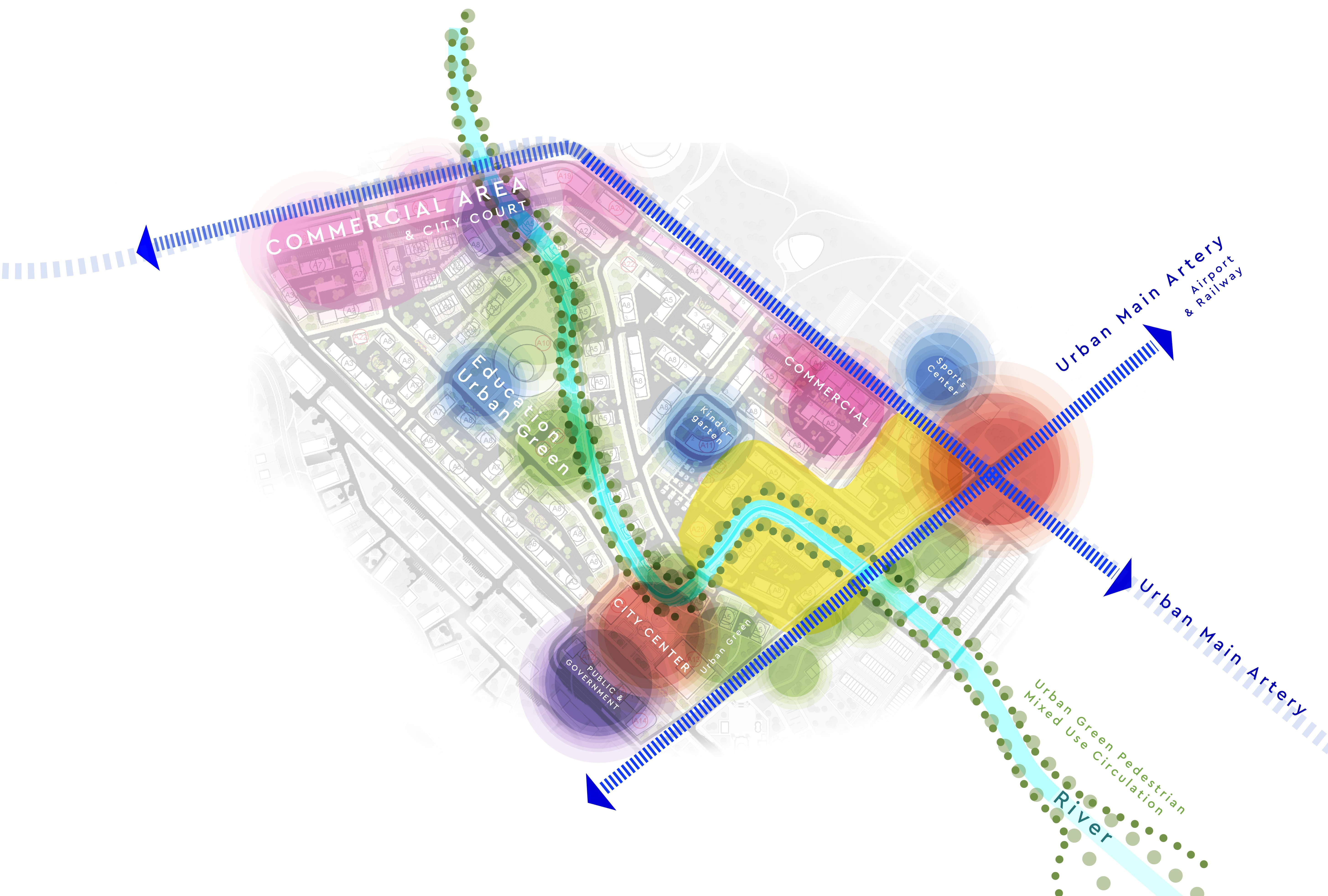
The master plan of Zangilan City serves as a roadmap for the development of a site, outlining how space will be utilized and how various elements and structures will interact with each other. This plan is a comprehensive guide to what the area includes, structured around key components.
Urban Main Arteries
Project site is in the corner of the main arteries of city, and surrounded by commercial area, educational spaces, city center, public government areas etc. The intersection point of the main artery extending to the airport and the other main artery on which the commercial center is located is at the edge of the project area. These two axes are the axles on which the transportation network for the whole city will flow.
Mixed Use
Since these blocks are located at the intersection of main arteries, it is thought that the ground floors of the blocks will also have commercial units. The residences continue on the upper floors of the blocks. Public spaces such as shops and cafes are lined up on this busy axis and form a base for the residential blocks on the upper floor.
